

Norfolk from above
Explore local aerial photographs, from coastal harbours and beaches to countryside and historic buildings. For commissioned work, visit our East Anglia aerial photography service or discuss your project.
Show customers the setting of a property, venue or business with aerial photographs made for your brief.
Tell us which buildings, landscape features or areas matter most, and where the finished images will be used.
We provide aerial photography, drone video and editing for promotional projects. Discuss the format, footage and delivery requirements when requesting a quote.
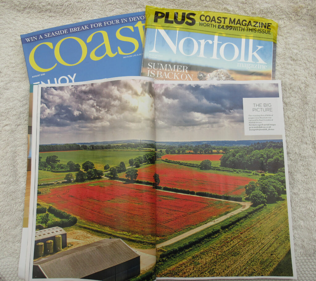
Here, Norfolk Magazine have used our images for the center page spread for their August edition.
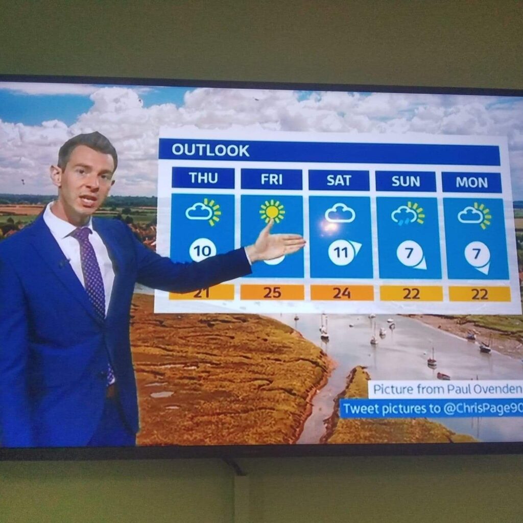
This is Burnham Overy Staithe Norfolk Harbour another imaged used by ITV Anglia
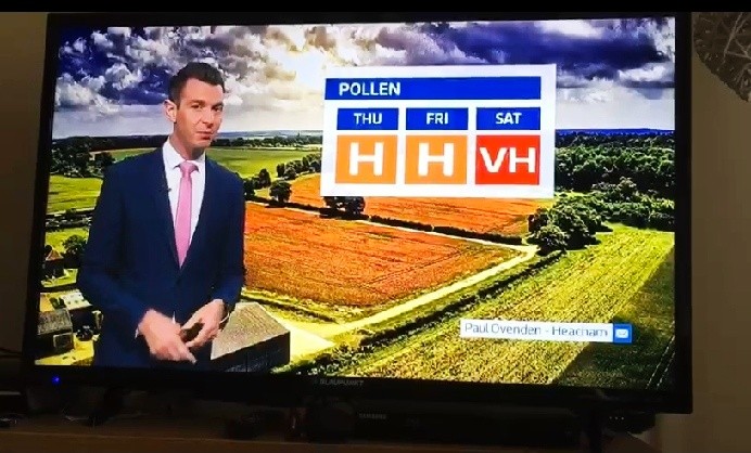
Here is our famous “Poppy Fields” Heacham again being used by ITV Anglia
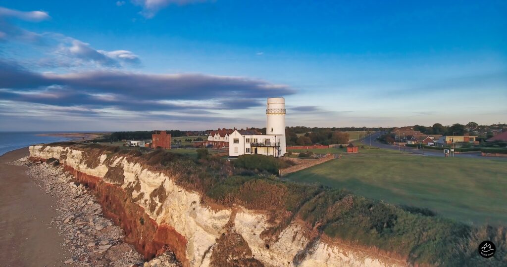
Aerial Pictures From Around Norfolk




Planning photographs for your project
A useful aerial photograph starts with its purpose. For a property listing, you may want to show the grounds and access. For a business website, the priority may be the building and its setting.
Include the intended audience, publishing channels and any deadlines in your enquiry. We can then discuss a suitable image selection and delivery format.
If your project needs survey measurements or specialist data, explain the required outputs before booking so the scope can be assessed.
Browse the examples above, then contact us with your location and the views you would like captured. We will discuss the proposed shoot and provide a quote for the agreed brief.
Aerial Photography & Services
High-resolution photographs and video provide a visual record of the accessible areas you need to see.
Aerial views help homeowners, developers and project teams understand a site in relation to its surroundings.
Enabling you to see things from a different angle. These views can help illustrate the setting and surroundings of a property.
Drone imagery can help assess visible areas that are difficult to see from the ground. Access arrangements and the need for further inspection depend on the site and your brief.
Each proposed flight is planned around the location, access, nearby activity and suitable weather.
Regular photographs can help your team compare construction progress over time. Agree the viewpoints and schedule so the records remain useful from one visit to the next.
For a roof or building enquiry, tell us what your surveyor or contractor needs to see. Aerial photographs support their assessment of visible features; concealed areas may require other inspection methods.
See more Norfolk landscape panoramas and photographs available as prints. Learn about Norfolk Drone or send an enquiry.
Hey guys! we are producing a cool and unique North Norfolk guidebook and need drone photography from Hunstanton to Cromer along the A149 in a classic road trip style highlighting the road the cars the signs and the towns and landscape. Is this something you can offer. about 20 pics would be ideal. Can provide more info if needed! Thanks
Thank you for reaching out, we would love to be part of your venture, we will email you
Regards Norfolk Drone